Program Overview
You’ll gain valuable and in demand skills for your career including:
- Collecting global positioning system (GPS) data and displaying the data on digital maps
- ESRI’s Suite of Tools – ArcGIS Pro, ArcGIS Online, ArcGIS Field Map, and ArcGIS Collector
- Imagery Analysis – Photogrammetry and Remote Sensing, as well as Spatial Analytics
Program Learning Outcomes
The geospatial programs are support programs to augment your Bachelor’s Degree. The program provides a well-rounded suite of skills including:
- Hands-on experience with a variety of geographic information systems including ESRI’s suite of tools
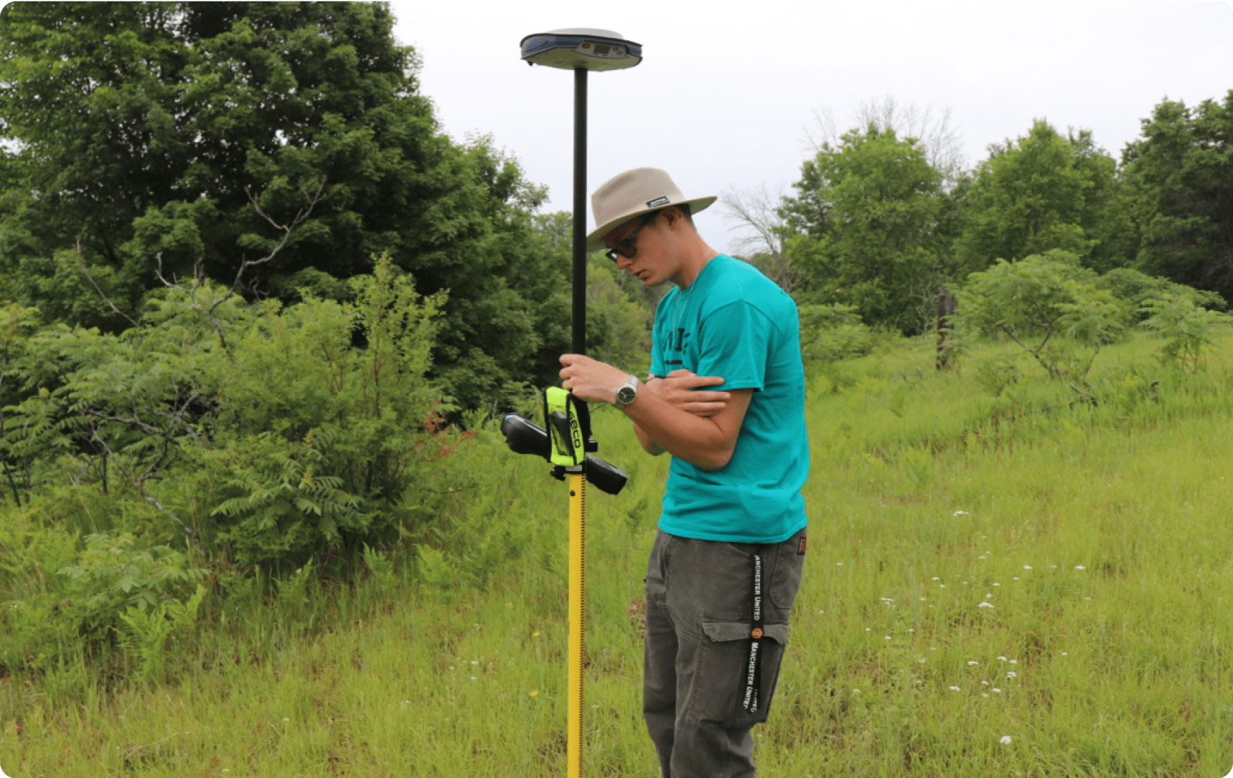
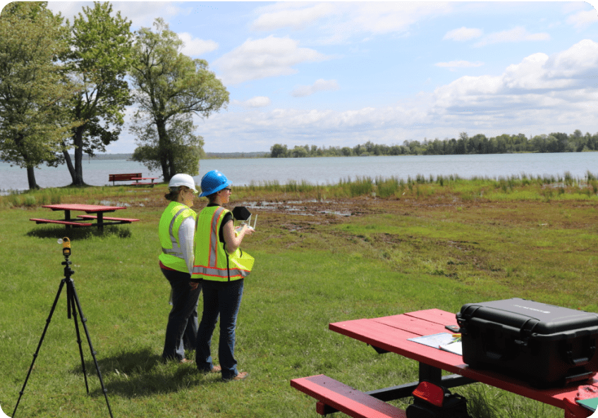
- Field-based primary data collection using a variety of survey and global positioning devices
- Advanced skill development in interpretation of remote sensing data and aerial photographs, spatial statistics, and geospatial programming
- The basics of geospatial analysis
Program Objectives
Students completing a certificate, minor, or Associates in Geospatial Technology will be able to:
- Collect primary data in the field using ground-based and remote sensing methods, and compile and integrate secondary data for spatial analysis
- Utilize state-of-the-art geospatial tools to perform spatial analyses and visualizations that effectively, concisely, and ethically represent geospatial data
- Effectively communicate methodologies and outcomes of data and literature-based geospatial projects through oral, written, and graphic media
 Career Paths
Completion of one of these programs will provide graduates with a credential that is in high demand in many different disciplines/industries.
- GIS Technician/Analyst
- Natural Resources — Habitat Modeling, Biodiversity
- Ecology – Habitat Mapping, Restoration
- Geology – Oil & Mining, Geomorphology, Hydrology
- Forestry – Field Technician, Forest Management
- Environmental Science – Public Health, Environmental Consulting
- Business Analytics – Market Analyst
- Computer Science – Programmer, Software Engineer
- Criminal Justice – Crime Analyst, Profiler
- Engineering – Civil & Urban Planning, Robotics
- Fire Science — Rescue & Recovery, Remote Pilot