CFRE’s MiWaterNet is a regional network of affordable water sensors that provide real-time data on water quality and hydrology across wadeable streams throughout northern Michigan.
Data will be available for natural resource managers and scientists to gain current information on stream and river conditions across the region and to detect changes associated with watershed management practices and climate change.
Additionally, CFRE is partnering with local stakeholders to engage citizen scientists in data collection and analysis as a way to build watershed awareness, data literacy, and stewardship of Great Lakes land and water resources.
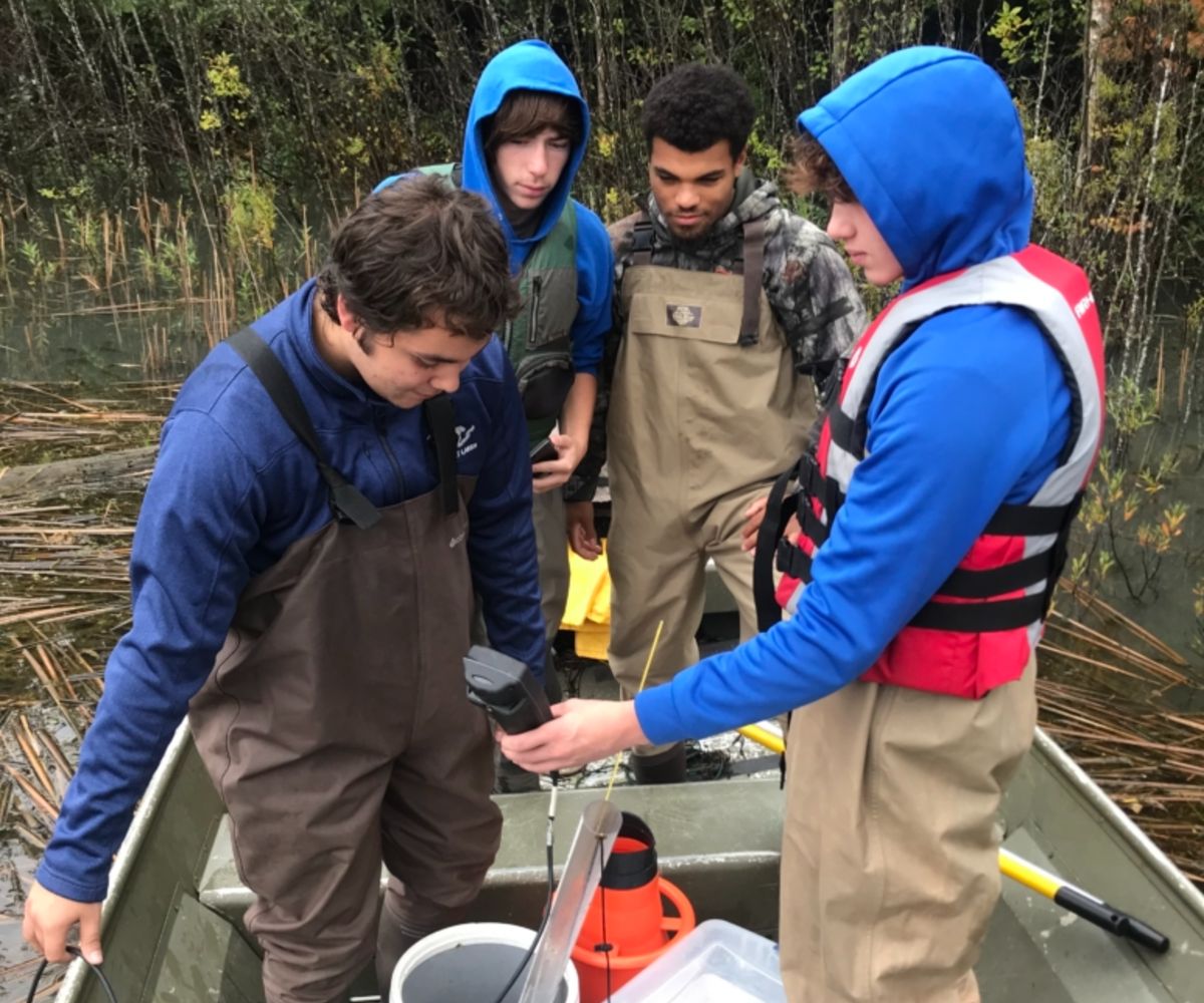
Local CTE students, like those pictured above, will gain excellent hands-on experience through the program. (Photo from September 2019).
At the end of 2021, MiWaterNet placed over 20 sensors in streams and rivers throughout northern Michigan.
Current partnerships include: